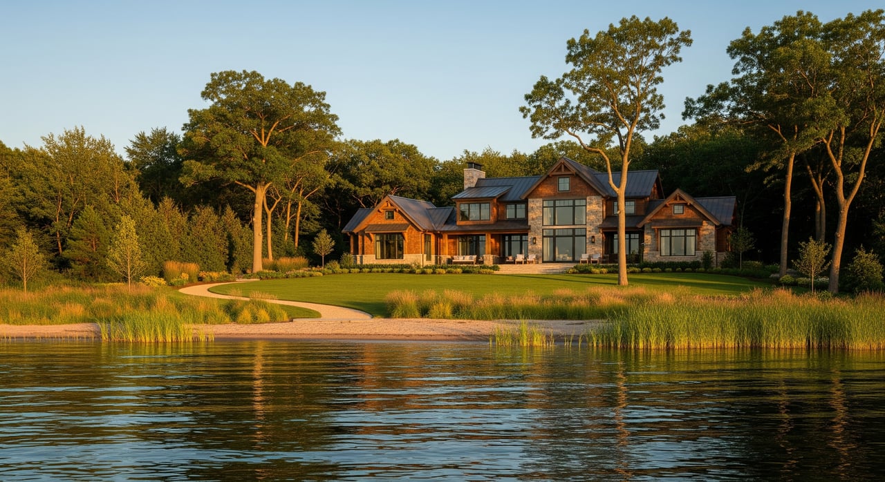
Picture your morning coffee on Spring Lake with the sun lifting over the water. Before you fall in love with a view, make sure you understand waterfront setbacks. These rules determine where you can build, add a dock, or reshape the shoreline, and they can impact value and timing. In this guide, you’ll learn the basics of setbacks, who regulates them locally, the due-diligence steps to take, and practical red flags to watch for. Let’s dive in.
What a waterfront setback is
A waterfront setback is the required horizontal distance between the lake’s ordinary high-water mark and a structure or certain site work. The ordinary high-water mark (OHWM) is located using physical indicators like a water-stained line or changes in vegetation. Setbacks protect the shoreline, manage flood risk, and help keep navigation safe.
Why this matters for you:
- It defines where you can place or expand a home, garage, deck, or boathouse.
- It influences dock placement, seawalls or riprap, and vegetation removal.
- It can limit usable land area and affect resale value.
- It interacts with other rules like floodplain, septic, wells, and wetland regulations.
- Existing shoreline structures may be nonconforming and not automatically replaceable or expandable.
Who sets the rules in Spring Lake
Multiple agencies can have a say. You will want to check each layer for the specific parcel you are evaluating.
Local zoning: Township or Village
Spring Lake properties fall under either Spring Lake Township or the Village of Spring Lake. Each adopts a zoning ordinance that sets dimensional standards like setbacks from the OHWM or from property lines and top of bank. Local codes also address permitted uses, accessory structures, lot coverage, impervious surfaces, and landscaping within shoreline buffers. Confirm the exact jurisdiction for your parcel first.
Ottawa County and mapping
Ottawa County planning, floodplain administration, and GIS mapping help locate parcel lines and flood zones. County GIS can show parcel boundaries, floodplain overlays, and sometimes mapped shoreline references that support your review.
State permits and definitions
Michigan’s Department of Environment, Great Lakes, and Energy (EGLE) regulates work in and near inland lakes, streams, and wetlands. Shoreline stabilization, in-water structures, and lakebed alterations frequently require EGLE permits. State law defines the OHWM and guides how it is located by surveyors and agencies.
Federal roles to know
The U.S. Army Corps of Engineers may have jurisdiction for certain in-water or wetland impacts. FEMA flood maps determine if a property lies in a Special Flood Hazard Area, which can trigger building standards and flood insurance requirements when financing is involved.
How setbacks affect common plans
Building or expanding a home
New construction must meet current setbacks and building codes. Tight lots between the OHWM and a road or rear line may limit your footprint, affect height and stories, or require a variance. Adding onto a nonconforming home near the water is often restricted and may need a public hearing.
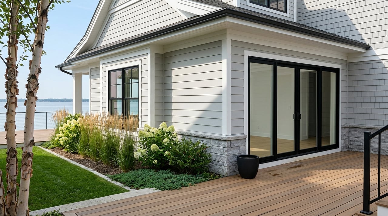
Docks, boat houses, and moorings
Docks are commonly allowed but regulated. Local zoning and state permits can control dock size, location, and distance from neighbors or navigation channels. Enclosed boathouses often face stricter standards or prohibitions.
Shoreline stabilization
Seawalls, riprap, and vegetative stabilization typically require state permits. Reviews often look for softer, nature-based options where feasible. Federal permits may apply depending on location and impacts.
Vegetation and landscaping
Many local codes limit removal of natural vegetation within a shoreline buffer. Some require native plantings or replanting to manage erosion and runoff. Plan landscaping early so it aligns with required buffers.
Flood risk and insurance
If the parcel sits in a FEMA floodplain, elevation requirements, foundation design standards, and flood insurance for federally backed loans may apply. A building can meet a setback and still be inside the floodplain, so you should evaluate both.
Surveys, OHWM, and title items
The OHWM does not always match a deeded boundary shown on older plats. Water level changes and erosion can complicate boundaries and setbacks. A current, stamped survey that shows the OHWM, topography, and all existing structures is essential.
Buyer due-diligence checklist
Use this step-by-step list before you buy or during contingencies:
Parcel evidence and mapping
- Pull the recorded deed or plat and legal description. Review county GIS and assessor data for frontage and dimensions.
Survey and OHWM determination
- Request an existing survey or make it a contingency to obtain one. Commission a new boundary and topographic survey that shows the OHWM from a surveyor experienced with Michigan shoreline work.
Zoning and setback rules
- Identify whether the parcel is in Spring Lake Township or the Village of Spring Lake. Get the zoning district and full ordinance. Ask the zoning administrator to confirm the shoreline setback method, floodplain status, and any existing variances or permits on file.
Permit history and as-built files
- Ask for all permits and as-builts for docks, seawalls, additions, and septic or well systems. Confirm whether shoreline work was permitted by EGLE and whether permits are closed.
EGLE and federal permits
- Verify if state permits were issued for shoreline or in-water work and whether conditions remain. For older work, confirm whether federal authorization was required and granted.
Floodplain and insurance
- Obtain FEMA flood maps and elevations. Determine the base flood elevation if present and speak with an insurance professional for estimates.
Environmental and geotechnical review
- Look for erosion, slumping, or recent stabilization. Consider a shoreline or geotechnical specialist if you see risk factors.
Legal and title items
- Check for easements, shared dock agreements, riparian covenants, or association rules that affect docks or setbacks. Consider a land-use attorney for complex nonconforming or shoreline issues.
Seller and listing questions
- Where is the OHWM relative to structures? Is it on a survey? What shoreline permits exist? Who installed stabilization and when? Has the property flooded? Any neighbor disputes over docks or access?
Timelines, ranges, and red flags
Permit timelines to expect
- Local zoning or building permits often take weeks depending on scope and completeness.
- State shoreline and in-water permits vary in timing. Simple docks can move faster than stabilization projects.
- Variances or special-use permits include public notice and hearings. Plan for 6 to 12 weeks or more.
Typical setback ranges
In Michigan, municipal shoreline setbacks for principal structures often range from 25 to 100 feet from the OHWM. Accessory structures and docks usually have different allowances. Treat these numbers as illustrative only and verify actual distances with the local ordinance for your parcel.
Red flags during review
- No current, stamped survey or missing OHWM on the survey.
- Unpermitted docks, riprap, or seawalls, or missing permit records.
- Parcel lies in a mapped floodplain with no recent elevation certificate or mitigation.
- Prior emergency shoreline work without the required permits.
- Recorded covenants or association rules that restrict docks or add setbacks.
Practical tips for buyers
- Make a current survey with OHWM a contract contingency.
- Speak with the zoning administrator early to uncover any special shoreline overlays.
- Engage an experienced local surveyor and, where needed, a shoreline or land-use specialist.
- Build permit and variance timelines into your closing schedule.
Local resources to contact
- Spring Lake Township or Village of Spring Lake zoning offices for zoning districts, setbacks, and permits.
- Ottawa County GIS, planning, and floodplain administrators for parcel data and flood maps.
- Michigan EGLE for shoreline, in-water, and wetland permitting and OHWM guidance.
- FEMA for flood insurance maps and floodplain standards.
- U.S. Army Corps of Engineers for federal jurisdiction questions.
- Licensed local surveyors with OHWM experience and shoreline familiarity.
- Licensed contractors for docks, stabilization, and septic or well systems.
- Real estate or land-use attorneys for variances, nonconforming structures, and title issues.
Your next step
Waterfront setbacks on Spring Lake are manageable when you know the rules and plan ahead. Start with jurisdiction, confirm the OHWM with a current survey, and line up zoning and permit guidance before you write an offer or remove contingencies. That puts you in control of what you can build, when you can build it, and how to protect long-term value.
If you want a clear path from search to shoreline, our team helps buyers navigate surveys, permits, and timelines with calm, local expertise. As a top-producing West Michigan team experienced in luxury and waterfront purchases, we coordinate the right professionals and protect your interests from offer to close. Connect with Rodriguez Homes to review a Spring Lake property and map out next steps.
FAQs
What is a waterfront setback on Spring Lake?
- A setback is the required horizontal distance between the lake’s ordinary high-water mark and structures or certain site work, set by local ordinances and affected by state and federal rules.
How do I find the OHWM on a property?
- A licensed surveyor identifies the ordinary high-water mark using physical indicators like water staining and vegetation lines, then shows it on a stamped survey.
Can I add a dock to a Spring Lake home?
- Docks are commonly allowed but regulated; expect local review and often state permits that govern size, placement, and navigation safety.
Do I need a permit to replace a seawall?
- Yes. Replacing or significantly repairing shoreline structures typically requires state permits and sometimes federal authorization, even for emergency situations.
Will I need flood insurance near Spring Lake?
- If your home is in a FEMA Special Flood Hazard Area and you use a federally backed mortgage, flood insurance is likely required; confirm with maps and your lender.
How long do permits and variances take?
- Local permits often take weeks; state shoreline permits vary by scope; variances with hearings usually take 6 to 12 weeks or more.
Can I build closer to the water than the current house?
- Usually no, unless the ordinance allows it or you obtain a variance; many shoreline homes are legal nonconforming and cannot be expanded closer to the water.